Reducing Flood Risk: Resources & Reference Documents
We ALL can help improve flood resiliency.

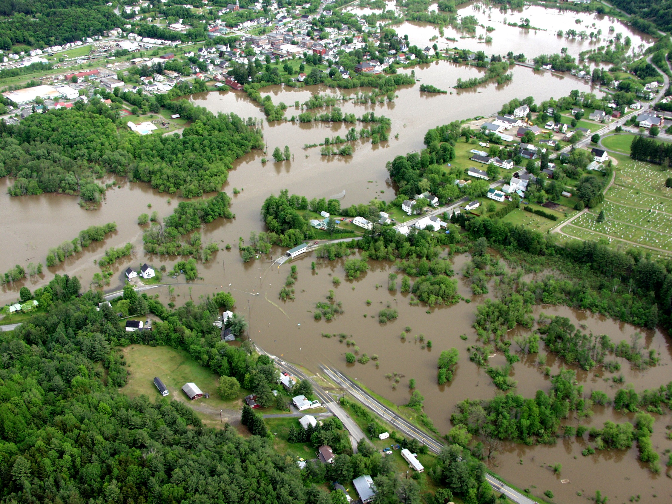
Lyndon is situated at the confluence of several streams and brooks leading to the Passumpsic River. East and West Branches of the Passumpsic, Miller’s Run, Hawkins Brook, and Wheelock Branch Brook all flow to the heart of this village. Because of historic flooding events, the region has been extensively studied. Check out the following studies for more information about flooding in Lyndon:
Passumpsic River Flood Mitigation Study, Prepared by Gomez and Sullivan Engineers, P.C. (2006).
Upper Connecticut River Flood Risk Management Feasibility Study DRAFT. US. Army Corps of Engineers. (2020).
Ice Jam Study (Ongoing).
Floodway, Floodplain, River Corridor? What is what?
The floodway is the stream bed and banks.
The floodplain is the adjacent low lying lands that rivers overflow onto during a flooding event. This is how a river discharges the energy of a flood.
The river corridor is the area adjacent to a river that will change in shape over time as the river erodes in some places and builds up soils and sand in others. Rivers move, and the river corridor lets a river move without constraint by buildings.
The special flood hazards area is all the area of the floodway and the floodplain that has a 1% chance of flooding in any given year. Mapping of the SFHA also refers to this area as the 100 year flood plain.
Flood preparedness
Vermont has a website dedicated to flood prepareness.
Click here to visit Flood Ready Vermont.
5 ways to reduce flood insurance (FEMA)
1. Locate any machinery or equipment that services your building ABOVE the base flood elevation.
2. Install “flood vents”. For buildings within the floodplain, there must be at least two openings with 1 sq. inch of opening per 1 sq. foot of enclosed area.
3. Place your home on a pad or pea stone surface. Basements will add financial burden to your flood insurance.
4. ELEVATE! Elevating your building just 1 foot above Base Flood Elevation often results in a 30% reduction in annual premiums.
5. One of the most effective options is relocating your home on an area of your property that has its natural grade above Base Flood Elevation. While costly, this option could reduce or eliminate the need to pay flood insurance entirely.
Courtesy of FEMA, Publication No. D671 (2005)
Passumpsic River Flood Mitigation Study (2006)
CLICK HERE to access the Gomez and Sullivan study (2006).
Upper Connecticut River Flood Risk Management Feasibility Study. DRAFT.
CLICK HERE to access an abbreviated version of the study.
US Army Corps of Engineers (2020).
This study looked at multiple towns along the Passumpsic. This is an abbreviated version focused on the Lyndon sections of the study.
Multi-jurisdiction Hazard Mitigation Plan
Every 5 years municipalities must adopt an updated Multi Hazard Mitigation Plan, with flooding being one area of hazard. Lyndon updated and renewed their LHMP in 2022. Click here to view the document.
